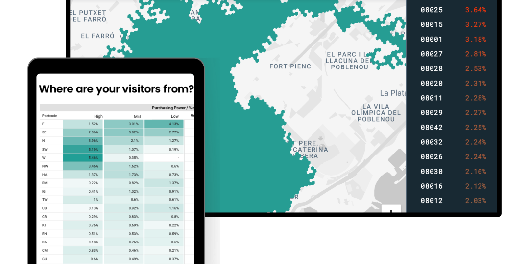
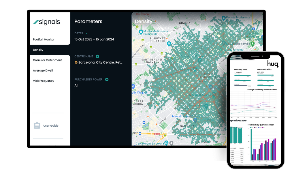
A display that highlights the areas that people travel from to visit your local area on a daily basis.
To understand the influence of local business marketing, transport links and also overlapping catchments. You will be able to define your catchment into localised, out of town visitors and tourists with a 20 / 50 / 80% range filter.
Catchment should reflect not only where people travel from on a daily basis but also enable you to understand how many, 20% of visitors on a particular day = x from the zone highlighted.
Catchment areas are a representation of where people travel from to visit an area. This can be used to study competing overlaps between centres, or learn how complimentary they are. Catchment areas also provide a figure representing the total number of people resident within that area.
We associate the catchment area for a town with corresponding census population data in order to provide a total figure for the catchment. This figure is dynamic and varies according to how catchments change over time and when demographic filters are applied.
We combine our catchment area definitions with the latest available census population data in order to provide the most accurate information through our products.
There is no limit to the number of locations available for measurement within our products. Our pre-existing data coverage exists across the whole of each geographic market we serve. This flexibility allows us to exactly meet your measurement requirements.
Catchment areas are calculated using the latest data available on a daily basis. This makes it possible to filter catchment areas to specific periods in time, allowing researchers to find how they have evolved in response to trends and events.
Huq’s mobility data goes back as far as 2016, although most products provide footfall data history starting in 2019. Catchment area history for your selected locations will be present within your product as soon as it is set up.
Mobility data allows researchers to determine where visitors travelled from, what they did / how long they spent there, and where they went next. It also provides a measure of the speed at which visitors travel. These qualities enable us to differentiate between visits and transits to an area within the metrics that we produce.
We associate profiles within our mobility data with census and other demographic classification data. This allows us to add dimensions such as income, age and gender to the catchment area outputs that we create. This helps researchers discover more about who is visiting their centres and why.
Our experts will guide you through what is contained within the data, provide samples, support and get you started with Huq.